Explore Hungary beyond the cities with this nature adventure route.
Recommended route — visit in this order
Curated 10-day road trip. Follow the numbers so you don't get lost.
Numbers show visit order. The cart auto-sorts your stops. Use Google Maps for turn-by-turn driving.
Alle Stopps — Details
A curated 10-day road trip across Hungary with 10 scenic stops, driving directions, and landmark guides.

Bükk Mountains National Park
Miskolc · Stop #1
The Bükk Mountains (Hungarian: [ˈbykː]) are a section of the North Hungarian Mountains of the Inner Western Carpathians. Much of the area is included in the Bükk National Park.

Lake Balaton Water Sports
Kecskemét (100km) · Stop #2
Lake Balaton (Hungarian: [ˈbɒlɒton] ) is a freshwater rift lake in the Transdanubian region of Hungary. It is the largest lake in Central Europe, and one of the region's foremost tourist destinations.

Tisza River Canoeing & Nature Reserve
Szeged (40km) · Stop #3
The Tisza, Tysa, Tisa, or Theiss (see below) is one of the major rivers of Central and Eastern Europe. It was once called "the most Hungarian river" because it flowed entirely within the territory of the Kingdom of Hungary.

Aggtelek National Park & Baradla Cave
Miskolc (80km) · Stop #4
The Baradla Domica cave system is a large cave system in northern Hungary. As part of the Aggtelek Karst, it extends more than 25.

Hortobágy National Park & Great Puszta
Debrecen (40km) · Stop #5
Hortobágy (Hungarian pronunciation: [ˈhortobaːɟ]) is an 800 km2 national park in eastern Hungary. The park, a part of the Alföld (Great Plain), was designated as a national park in 1973 (the first in Hungary), and elected among the World Heritage Sites in 1999.

Danube Bend Scenic Route & Hiking
Budapest (40km) · Stop #6
The Danube Bend (Hungarian: Dunakanyar) is a curve of the Danube in Hungary, close to the town of Visegrád.

Lake Fertő (Neusiedl) Cycling & Birdwatching
Szombathely (50km) · Stop #7
Lake Neusiedl (German: Neusiedler See, pronounced [ˈnɔʏˌziːdlɐ ˈzeː] ; Croatian: Nežidersko jezero or Niuzaljsko jezero; Slovene: Nežidersko jezero; Slovak: Neziderské jazero; Czech: Neziderské jezero) or Lake Fertő (Hungarian: Fertő tó), is the largest endorheic lake in Central Europe, straddling Austria and Hungary. The lake is saline and covers 315 km2 (122 sq mi), of which 240 km2 (93 sq mi) is on the Austrian side and 75 km2 (29 sq mi) on the Hungarian side.
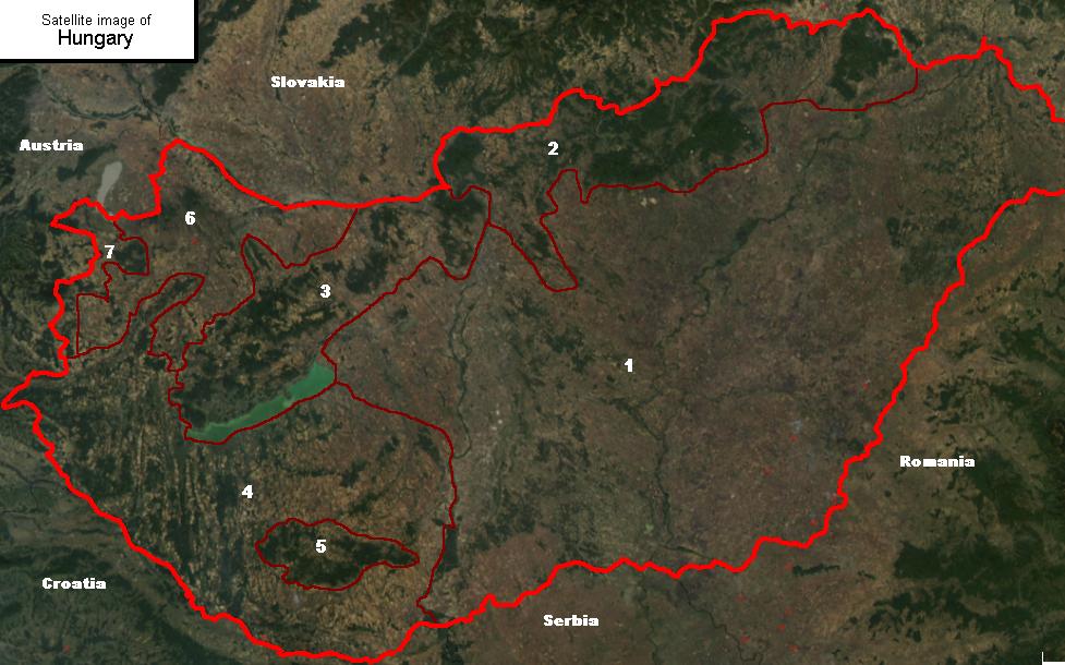
Mecsek Mountains Trekking
Pécs (15km) · Stop #8
Forested hills rising immediately above Pécs offering multiple hiking routes of varying difficulty. The Mecsek Trail system includes scenic viewpoints overlooking the city and surrounding countryside. Routes range from gentle woodland walks to challenging ridgeline hikes. Easily accessible by car from Pécs with numerous trailheads. Well-marked trails suitable for independent hiking; guide optional for comprehensive cultural and geological context.

Pilis Mountains & Rám Gorge
Budapest (50km) · Stop #9
Pilis Mountains is a mountainous region in the Transdanubian Mountains. Its highest peak is Pilis-tető at 756 meters (2,480 ft).
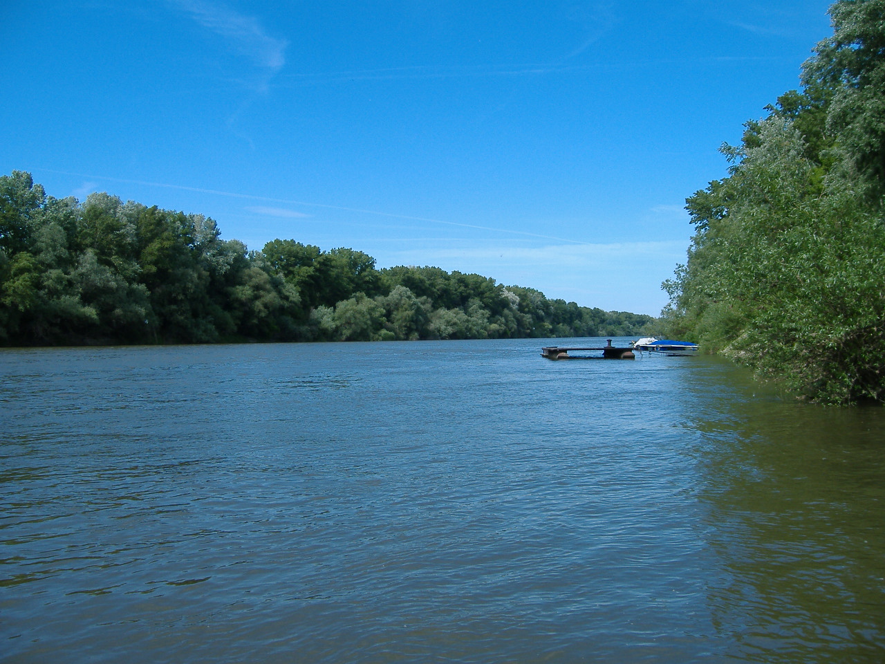
Kisköre-Tisza Plain Nature Reserve
Kecskemét (80km) · Stop #10
The Tisza, Tysa, Tisa, or Theiss (see below) is one of the major rivers of Central and Eastern Europe. It was once called "the most Hungarian river" because it flowed entirely within the territory of the Kingdom of Hungary.
Verwandte Inhalte
Frequently asked questions
- What is the Hungary adventure route on ViaPins?
- A curated 10-day road trip across Hungary with 10 scenic stops, driving directions, and landmark guides.
- Do I need a car for the Hungary adventure?
- Yes. The ViaPins Hungary adventure route is designed for self-drive travel between regional landmarks.
- How do I follow the Hungary itinerary?
- Open the adventure page on ViaPins, review each stop, and use the built-in route planner to navigate with Google Maps.